
The Tanzanian partner universities have reviewed and developed several curricula and courses as part of the Geo-ICT project. We aim to collect feedback from the students of each partner university regarding at least one course during 2019, to be able to measure the success of the curriculum development work done.
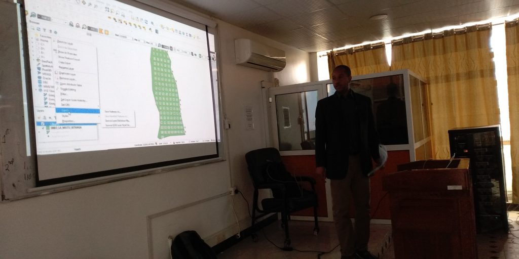
At one of the partner universities, Sokoine University of Agriculture, the BSc Forestry second year students have just been taking part in such a pilot course where a new practical session on GIS and remote sensing was developed, aimed at enhancing the students’ capacity to apply geospatial technologies in the management of forest resources. The feedback shows a positive response from the students, emphasizing how the course has advanced the application of theoretical knowledge to practical skills. Using free and open-source software in the course is also a sustainable solution for the future, and allows the students to continue practicing on their own.
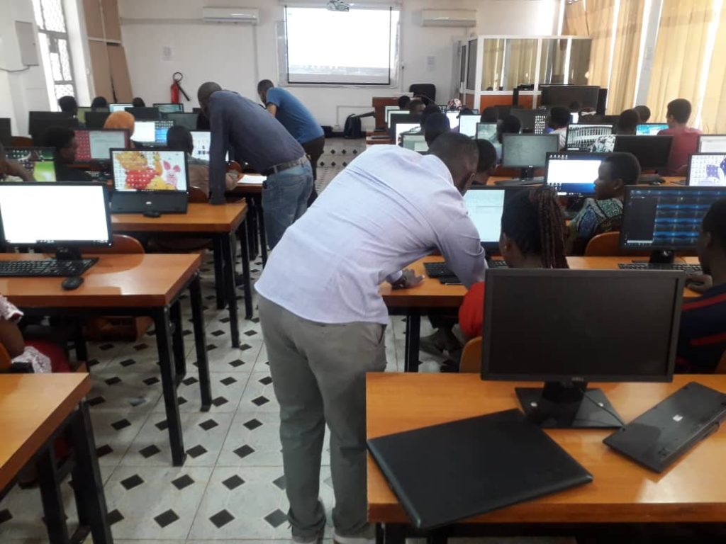 Thank you for the good work, course instructors at SUA: Dr. Ernest Mauya, Mr. Hery Kayeye and Mr. Cosmas John!