GeoICT4e -Social innovations in Geo-ICT education at Tanzanian Higher Education Instutions for improved employability project has got funding of 1 923 365 euros from HEI ICI programme for the time period of 4 years, starting from 1 September 2020 and continuing to 31 August 2024.
The main outcome of ‘GeoICT4e’ is that the Tanzanian universities have improved management and teaching capacities in the impact-driven and socially innovative geospatial and ICT education, leading to graduates’ better employment.
The Higher Education Institutions Institutional Cooperation Instrument (HEI ICI) supports cooperation projects between higher education institutions in Finland and the developing world. The projects support the HEIs as they develop their subject-specific, methodological, educational and administrative capacity. The programme is funded by the Ministry for Foreign Affairs of Finland and administered by the Finnish National Agency for Education.
Geospatial-ICT technologies are making an impact lead due to globally accessible solutions. We are witnessing a massive growth of innovations built on open digital geospatial data through affordable mobile technologies, and these are tackling major challenges, such as rapid urbanization, degradation of marine and land environments, and humanitarian crises. The number of experts needed is growing, but also the required skills, capabilities and attitudes are changing. New generation HEI graduates need to be competent with the novel technologies, but equally they need to master the interface between technologies’ potential and societies’ emerging needs, working in a multi-stakeholder environment creating innovative and impact-based solutions.
Key results to be achieved:
1. The Tanzanian universities have improved management and teaching capacities in socially innovative geospatial and ICT education
2. Students have open access and wider usage of digital e-learning assets in the Tanzanian HEIs
3. The Tanzanian Geospatial and ICT students have improved digital skills and multi-competences at undergraduate level (BA, BSc)
GeoICT4e achieves this transformation by focusing on critical elements of the HEIs education capacities. Firstly, we improve the HEIs and their staff’s capacities and skills to plan and implement the multi-competence learning (MCL) solutions in their teaching. Secondly, we improve open access and wider usage of digital e-learning assets in the Tanzanian HEIs for the students and thirdly, we improve students’ digital skills and multi-competences in Tanzania. We advance the HEIs institutional uptake and management capacities related to the aforementioned outputs, and especially HEIs ability to reach wider audience with the Geospatial-ICT education. The central vehicle for education transformation in GeoICT4e is the multicompetence learning (MCL) process, which happens via co-creative challenge campaigns organized in close cooperation with the innovation ecosystem actors and problem owners. This methodology enables the HEIs to catalyze a change, which we identify as ‘socially innovative geospatial and ICT education transformation’.
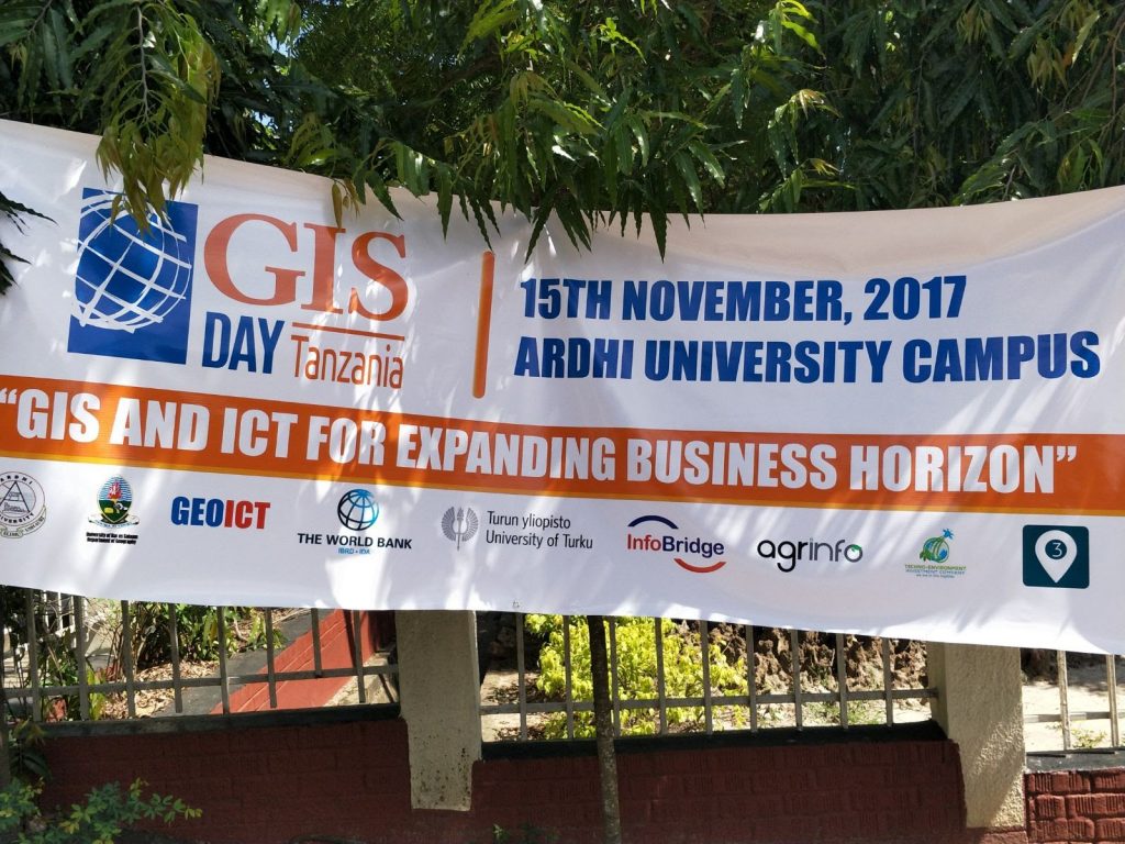
GeoICT4e is grounded on the long-term and well-established cooperation between University of Turku (UTU) and the four Tanzanian HEIs UDSM, ARU, SUA, and SUZA. Collaboration is now expanding with three added partners: Turku UAS and Novia UAS from Finland, and MoCU from Tanzania. The joint effort of our large eight-university consortium enables development and institutional delivery of innovative and scalable geospatial and ICT e-learning services for Tanzanian HEI students, and beyond.
Since our consortium goals are targeting for substantially broader learning impacts than before, we work in close cooperation with the local innovation and entrepreneur ecosystem and government sector actors, and the World Bank -funded by Tanzania Resilience Academy. We participate local communities through citizen panels to our challenge campaigns and create public awareness for inclusive and informed decision-making in Tanzania.