
Geospatial technology is used in many ways in Tanzania, and it enables people to make smart decisions in the society. https://youtu.be/ffX9DKAdNv4 The GIS day Tanzania day is coming up Wednesday 15th November - meet our project team there and learn more!
All Post done By Msilikale Msilanga
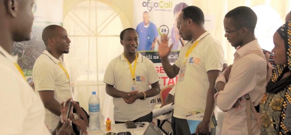
Tanzania GIS Day on November 15th
Geo-ICT project will be visible at the Tanzania GIS Day event in November at the University of Dar es Salaam! On November 15th, GIS Day events are organized all around the globe. GIS Day Tanzania is held at the University of Dar es Salaam, Department of Geography, in...
New HEI-ICI project has started
We have received funding from the Ministry for Foreign Affairs of Finland (HEI-ICI programme) for a project "Geospatial and ICT capacities in Tanzanian Higher Education Institutions (Geo-ICT)". The project is about improving the quality of higher education and...
Our News
Our News
Kick-off to Multicompetence Learning and GeoICT4e Ways to Work
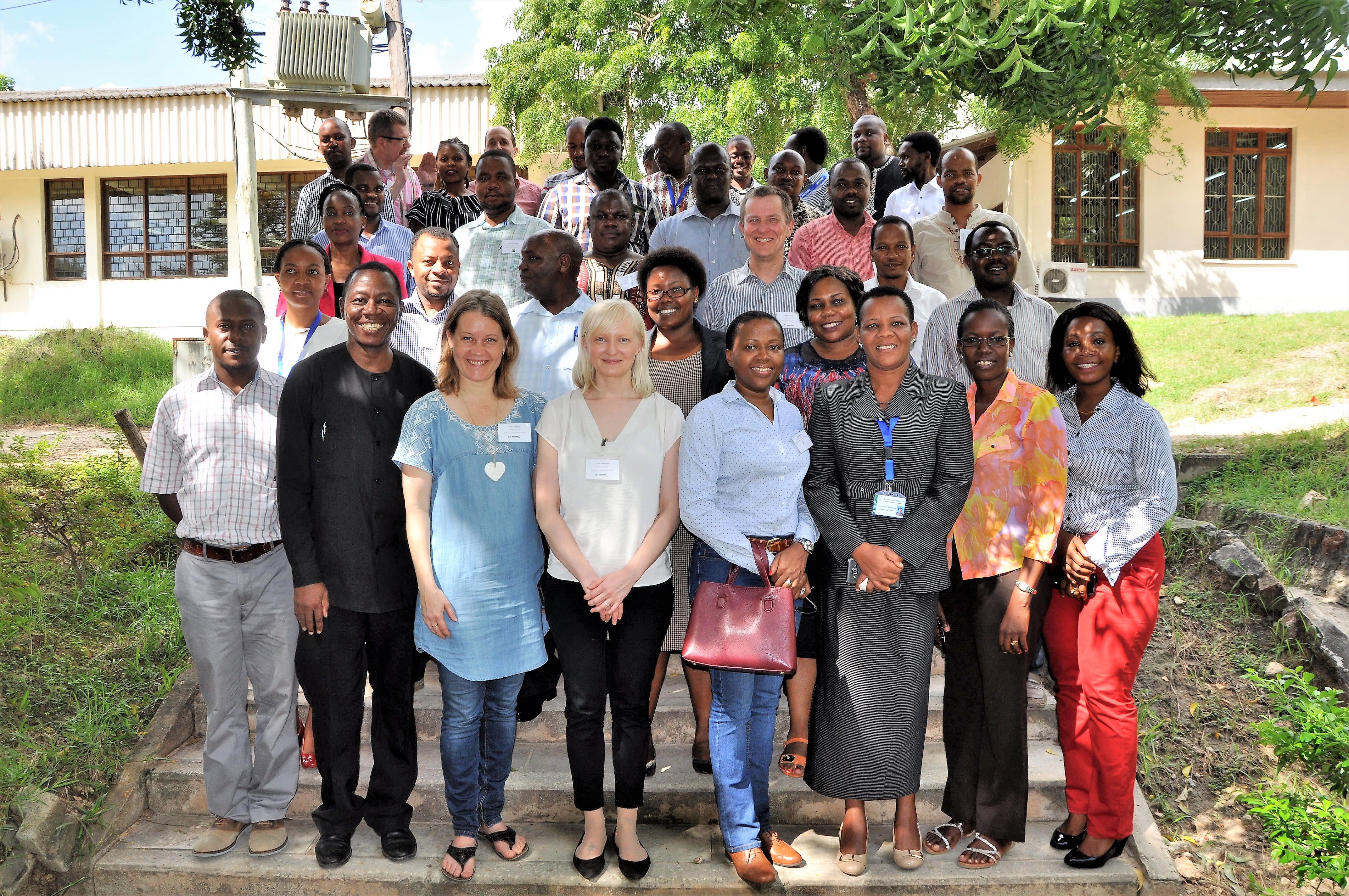
A two-days’ event for GeoICT4e experts GeoICT4e project is implemented by eight universities from Finland and Tanzania. Altogether, we comprise a team of 51 experts, who have different knowledge, skills, experience, networks and personalities. Getting to know and...
GeoICT4e project gets started
GeoICT4e -Social innovations in Geo-ICT education at Tanzanian Higher Education Instutions for improved employability project has got funding of 1 923 365 euros from HEI ICI programme for the time period of 4 years, starting from 1 September 2020 and continuing to 31...
Application for GeoICT4e successfully submitted
While the GeoICT project is gradually ending, we have submitted a new HEI-ICI proposal “GeoICT4e” – e referring to employment – for the Ministry for Foreign Affairs. Our new project initiative builds on the success of the previous two HEI ICl-projects between...